 0:38
0:38Geography
How to Take Effective Notes in Geography: Tips and Techniques
Learn how to take clear, organized geography notes using key themes, diagrams, and summaries for better understanding and review.
Topic guide
Explore focused questions, practical explanations, and related topics in Maps.
Start here
One useful entry point into this topic.
0:38Learn how to take clear, organized geography notes using key themes, diagrams, and summaries for better understanding and review.
Keep exploring
A growing selection of focused questions in this collection.
 0:40
0:40Discover essential military map symbols like contour lines, waterways, and strategic icons to enhance navigation and mission planning.
 0:48
0:48Learn how to read geography by interpreting maps, understanding symbols, scales, climatic zones, and using GIS tools effectively.
 0:42
0:42Discover why cartography and GIS are essential methods for studying geography and understanding spatial data effectively.
 0:32
0:32Explore contemporary maps—modern tools for navigation and urban planning with real-time data.
 0:30
0:30Explore common types of map distortions today, such as area, shape, distance, and direction, and their impact on map interpretation.
 0:22
0:22Discover the inventor of the current world map format and its significance in navigation.
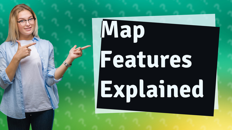
 0:39
0:39Discover the 9 key map features that help you read and understand maps effectively.
 0:35
0:35Discover essential models in geography like GIS, DEM, and Climate Models that aid in spatial analysis and planning.
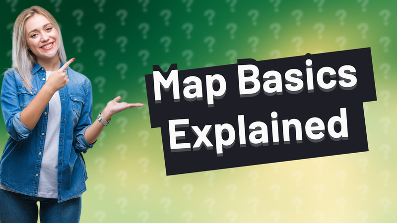
 0:42
0:42Discover the five key features on a map that enhance navigation and understanding of geographic information.
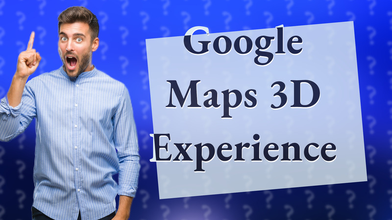
 0:35
0:35Discover how Google Maps uses satellite imagery and algorithms to produce detailed 3D views.
 0:32
0:32Explore the three key map features: legend, scale, and compass rose for effective navigation.
 0:38
0:38Discover how Google Maps immersive view transforms your travel experience with 3D visuals and real-time data.
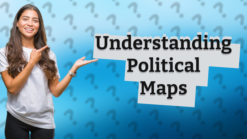 0:34
0:34Learn what a political map is and how it displays boundaries, locations, and geographical features.
 0:36
0:36Discover if Google Earth displays boundary lines and how to enable this feature.
 0:40
0:40Discover the different map types in Google Maps API, including ROADMAP, SATELLITE, HYBRID, and TERRAIN, to enhance your applications.
 0:50
0:50Explore various types of maps including physical, political, and thematic maps to better understand geography.